Crime & Safety
Brick Neighborhoods Begin to Flood as High Tide Rolls In
High tide in most bayfront neighborhoods between 12 noon and 1 p.m. Sunday


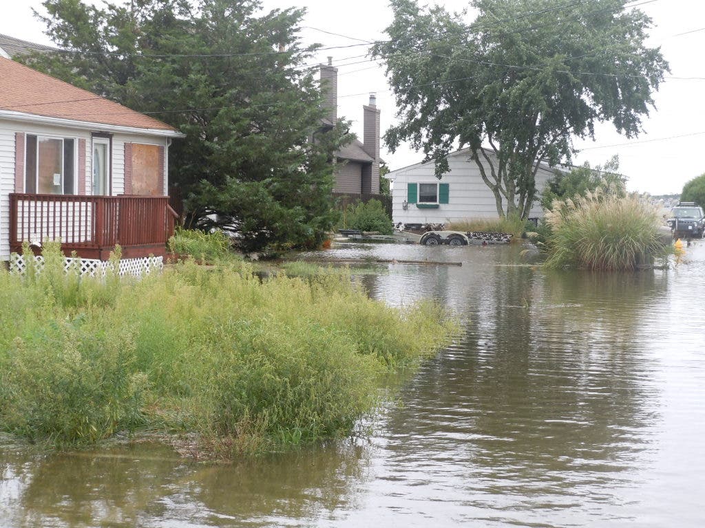

As the afternoon high tide rolled into Brick around 12 noon Sunday, neighborhoods adjacent to bodies of water began flooding.
Traffic lights were out in some parts of town, though most were operating. Lights at some intersections along Route 70, such as the Burnt Tavern Road–Bridge Avenue intersection, were not operating, however. Police had blocked off the crossings so traffic on the highway could move along unaffected.
"Please stay home for your safety as well as ours," Business Administrator Scott Pezarras said in an e-mail regarding traffic safety issues.
Find out what's happening in Brickwith free, real-time updates from Patch.
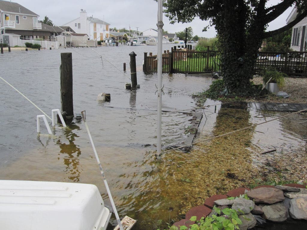
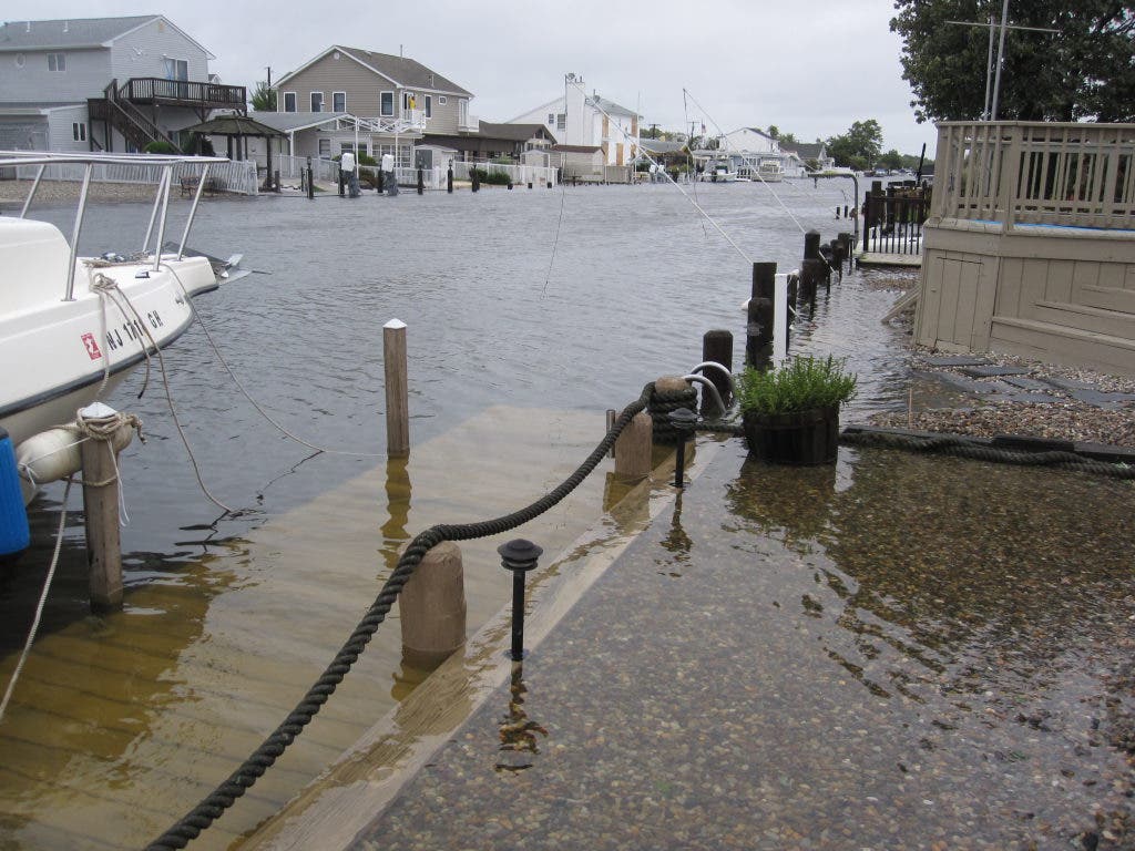
The Tunes Brook neighborhood was particularly affected by flooding, Brick Patch has learned. Additionally, all of the lagoon streets off St. Lawrence Boulevard were also beginning to flood. By 11:30 a.m., water was breaching bulkheads and beginning to flood on to St. Lawrence itself. At one point, midway between Mandalay Road and Windsor Drive, the street was impassable. Some residents were seen scrambling to secure their boats and let out extra slack as dock lines began to grow dangerous taut from the rising tide.
The same issues were being felt on streets off Cherry Quay Road that back up to lagoons. Some trees were down near Segoin Road, blocking some local streets. The trees brought power lines down, and police were ensuring no one entered the danger zone created by the lines. A few homes on lagoons were experiencing some water intrusion, but the vast majority were not and did not appear to be in any danger.
Find out what's happening in Brickwith free, real-time updates from Patch.
On the barrier island, police were blocking access at the Route 35 split. Additionally, the Mantoloking Bridge was still closed to traffic. Brick Patch was allowed to photograph areas of the barrier island, however, and while there was little to no structure damage observed to homes or businesses, flooding made Route 35's southbound lanes completely impassable. Access was being blocked by police at various points along the barrier island, including at Route 35 in Point Pleasant Beach, near the Route 88 intersection. Bay Head police also blocked access at Bridge Avenue, though that road was already impassable due to flooding.
While lagoons on the barrier island were also flooded, similar to the mainland sections of Brick, the township's beach areas fared relatively well in the storm.
There was no structural damage to the snack stands or other buildings at the township's beaches. The only damage at the beachfront was some minor damage to the boardwalk leading to the sand at Brick Beach III and to snow fences marking off the dunes.
The sacrificial berm that township officials placed at the beach was nearly all gone, however.
Get more local news delivered straight to your inbox. Sign up for free Patch newsletters and alerts.


